


Mali
Under a blazing sun in Mali's capital, Amadou Menta leaned over to measure a gutter and then jotted down the results on a mapping app on his smartphone.
"We're collecting data," said the 27-year-old geography student, helping to chart the roadside drains of central Bamako with two friends.
Until recently Mali's capital was largely uncharted on the web.
With street names or fixed public transport routes often missing in the city of some two million, people tend to ask for directions to find their way.
But the lack of maps is a major obstacle to developing its infrastructure -- whether to prevent traffic jams, collect wastewater and rubbish, or prevent flooding.
Tech-savvy young Malians are striving to change this, cataloging the city's features in the hope it will improve the lives of its residents.
Armed with smartphones, dozens of volunteers have been collecting data for the local branch of OpenStreetMap, a free, online geographic database -- which is then used by sites including Google Maps.
Menta and fellow mappers have been charting the channels collecting waste and rainwater in Daoudabougou, a central district often hit by floods.
The gutter project is receiving financial support from the World Bank, and has been welcomed by the authorities.
But it's just one of the avenues the group is exploring -- and there is plenty more work to do.
Founder Nathalie Sidibe said there was previously "no freely available data in Mali".
"We saw mapping as a concrete way to contribute to developing the area," she said.
"We need to change habits here -- and to do that, we need to encourage people to use digital tools."
- Data to 'get ahead' -
Mobile data access is still poor in Mali.
Countrywide, only one in 10 women is connected to mobile broadband, compared to one in five men, a World Bank report found last year.
But the OpenStreetMap Mali team has been busy.
So far, its volunteers have drawn up a map of Bamako's public minibus routes, household waste collection points, and basic social services.
Adama Konate, deputy mayor in charge of sanitation, said the group's efforts had helped Bamako.
"We only had basic knowledge before this project," Konate said.
"Now we know that this place needs drainage, and that place needs a rubbish dump."
Mahamadou Wadidie, director of the Regional Development Agency in Bamako, said the youth mapping project had made his job much easier.
On the agency's website, he showed off a regularly updated map of all the health centres and schools in Bamako drawn up from OpenStreetMap data.
"Instead of taking two months to find out about these things, mayors can now get this information from their computer," he said.
"Digitisation is allowing us to get ahead, to lose less time."
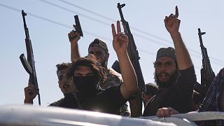
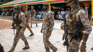
Mali, which has been battling a decade-long jihadist insurgency -- does not have many resources to devote to digitizing data, he said.
But Menta and his young colleagues, he said, have shown it is possible to launch ambitious mapping projects "without spending a lot of money".

01:41
UN warns of looming famine in Sudan, Gaza and 3 other global hunger hotspots
Go to video
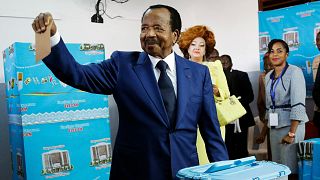
Mali: Army foils attack in Timbuktu, a day after jihadist assault killed 30 soldiers
01:11
ECOWAS at 50: Celebrating unity as the region fragments
02:01
Mali's Diarra Sidiki wins 2025 Tour du Togo
Go to video
Mali, Burkina Faso and Niger to have access to the Atlantic ocean
Go to video
Jihadi activities increase sevenfold in Kayes region, near east of Senegal